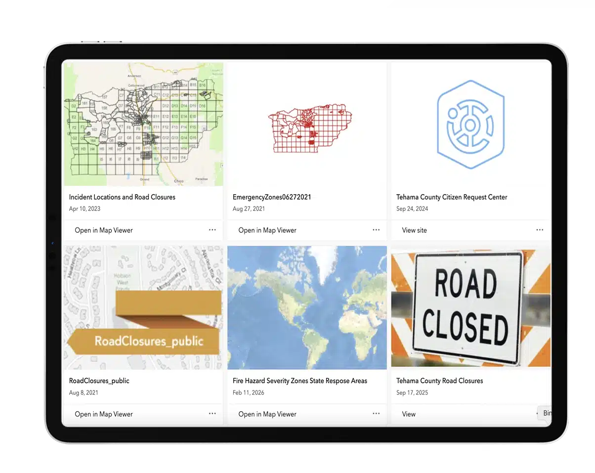
Explore interactive mapping tools, GIS applications, and public dashboards designed to provide real-time access to transportation, infrastructure, emergency response, and regional planning information throughout Tehama County.
Browse interactive maps, applications, and dashboards that provide easy access to geographic data, transportation information, planning resources, and public services throughout the county.